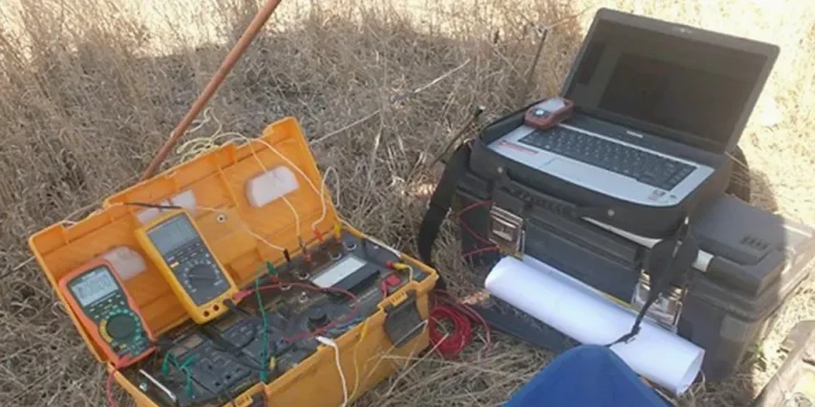
Between the flat, sandy plains near the Curragh and the wetter lowlands approaching the Liffey, Newbridge sits on a geological boundary that catches out more than one ground investigation. The contrast is stark. Dry, free-draining gravels in one estate. Soft, saturated clay in the next. Resistivity testing cuts through that guesswork. We run Vertical Electrical Sounding (VES) to map the vertical layering without opening the ground. In a town where housing estates and commercial units keep pushing west, knowing what lies beneath the asphalt before the excavator arrives saves weeks of delay. We combine VES with test pits when we need a physical check on the top two metres, but the resistivity profile gives us the full sequence down to bedrock.
Resistivity mapping across Newbridge limestone gives us the rockhead profile without drilling every twenty metres.